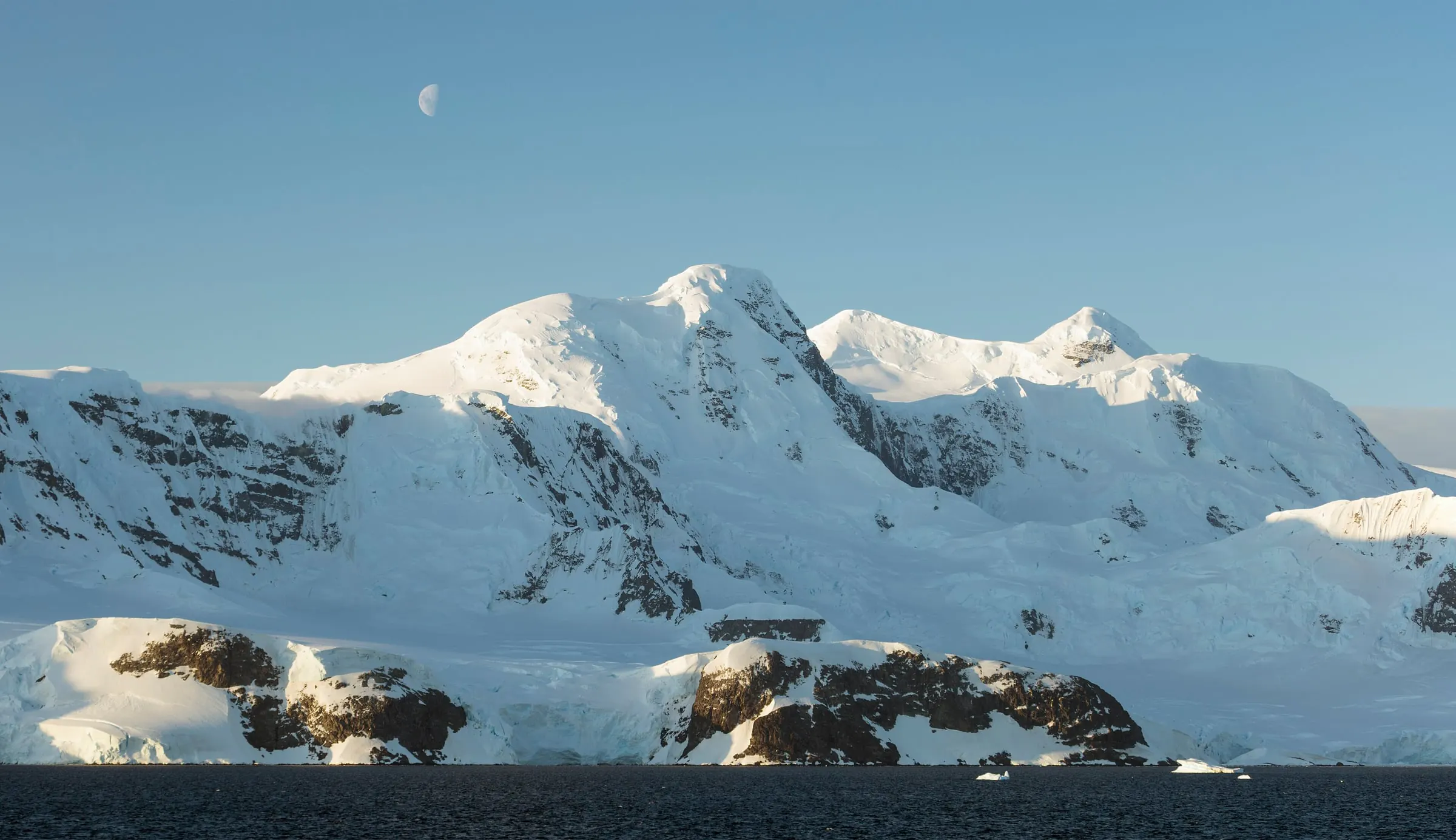
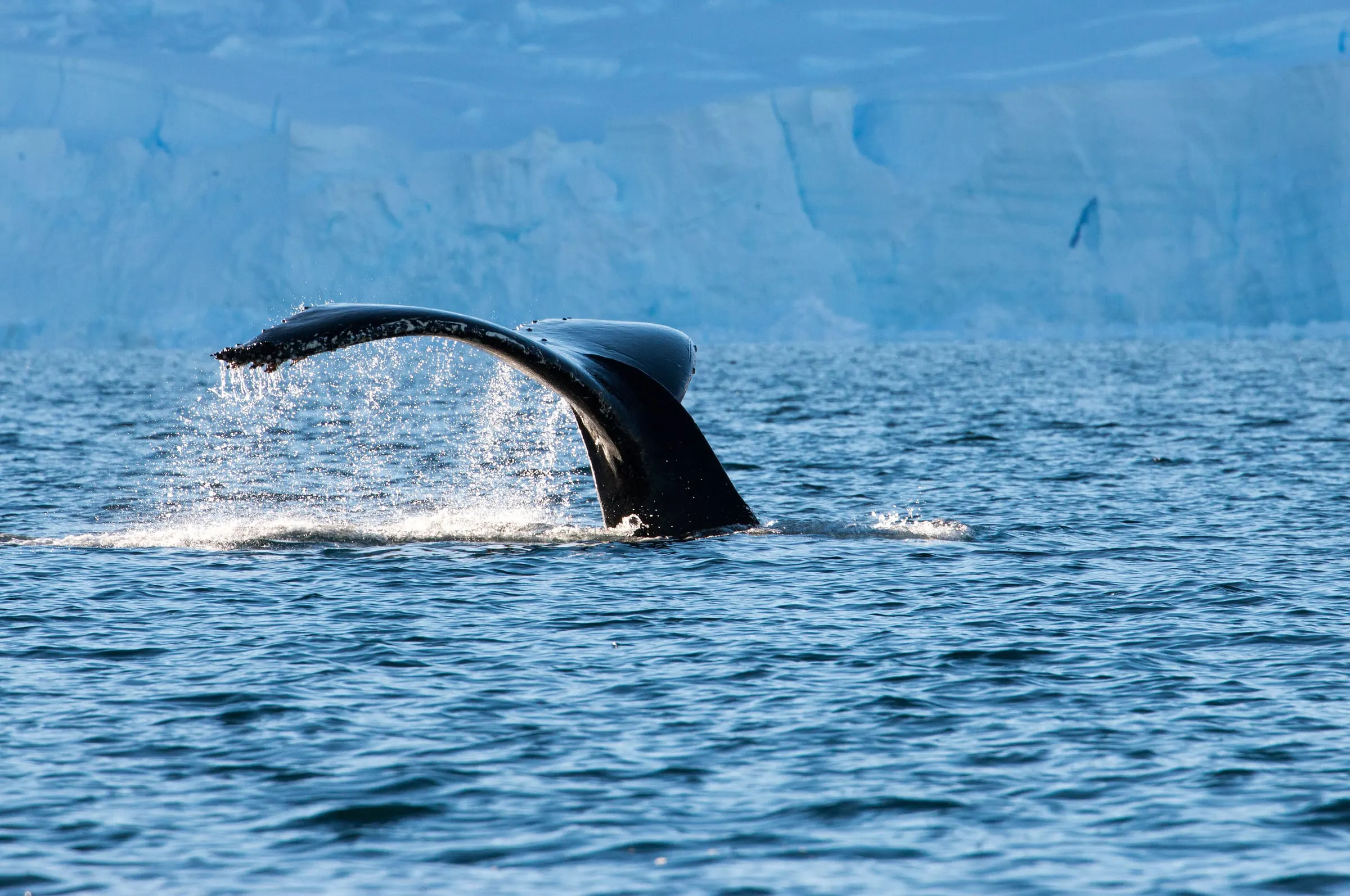
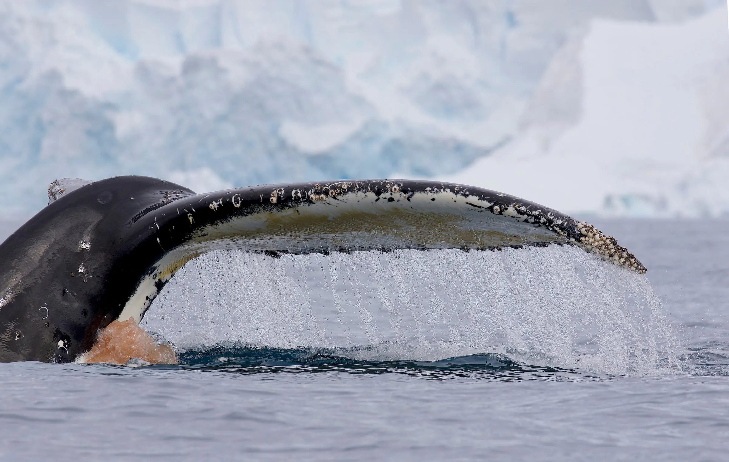
There are only a few of us aboard. No queue for the dinghy and no timetable shared with hundreds of passengers: when whales surface beside the boat, we simply stay.
02
Closer to the ice
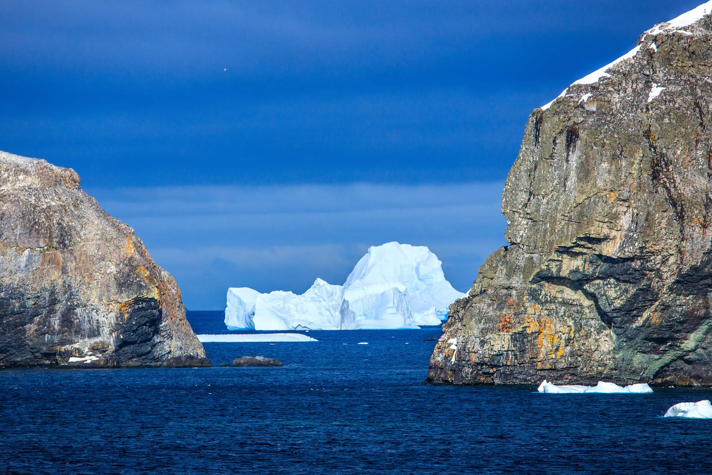
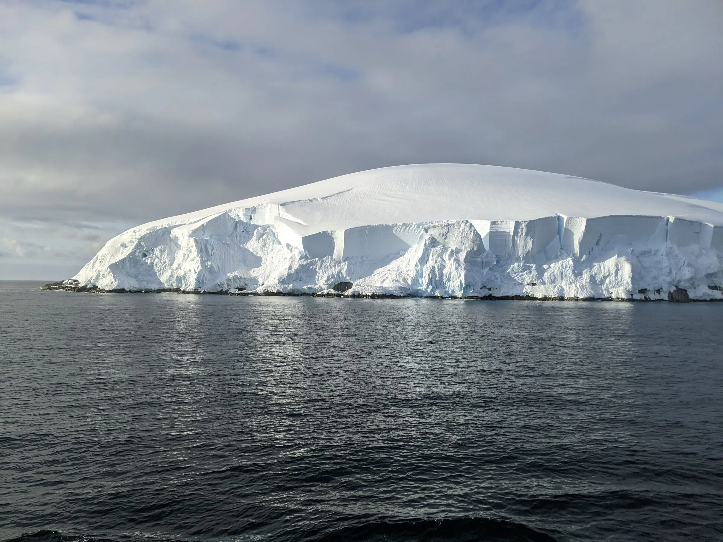
A yacht needs little water under her keel. We anchor in small coves, tie up to a century-old whaling wreck and slip into channels that big ships pass by.
03
The Drake, honestly earned
Four days of open ocean under sail each way. Stand a watch, take the helm, learn to read the swell — and arrive in Antarctica as a sailor, not as a passenger.
04
A light footprint
Wind does much of the work, and a small group keeps every landing quiet. We follow the Antarctic Treaty visitor guidelines at each site: distance from wildlife, clean boots, nothing left behind.
The route
1,500 miles, day by day
We follow the classic yacht route down the western side of the Antarctic Peninsula. The final plan is always written by the weather and the ice: each day the skipper decides where it is safe and worthwhile to go.
Sheet 1 · Drake Passage
54°48′S 68°18′W
Schematic chart. Not for navigation.
Sheet 1 · Drake Passage
Schematic chart. Not for navigation.
01
Day 1
54°48′S 68°18′W
Ushuaia and the Beagle Channel
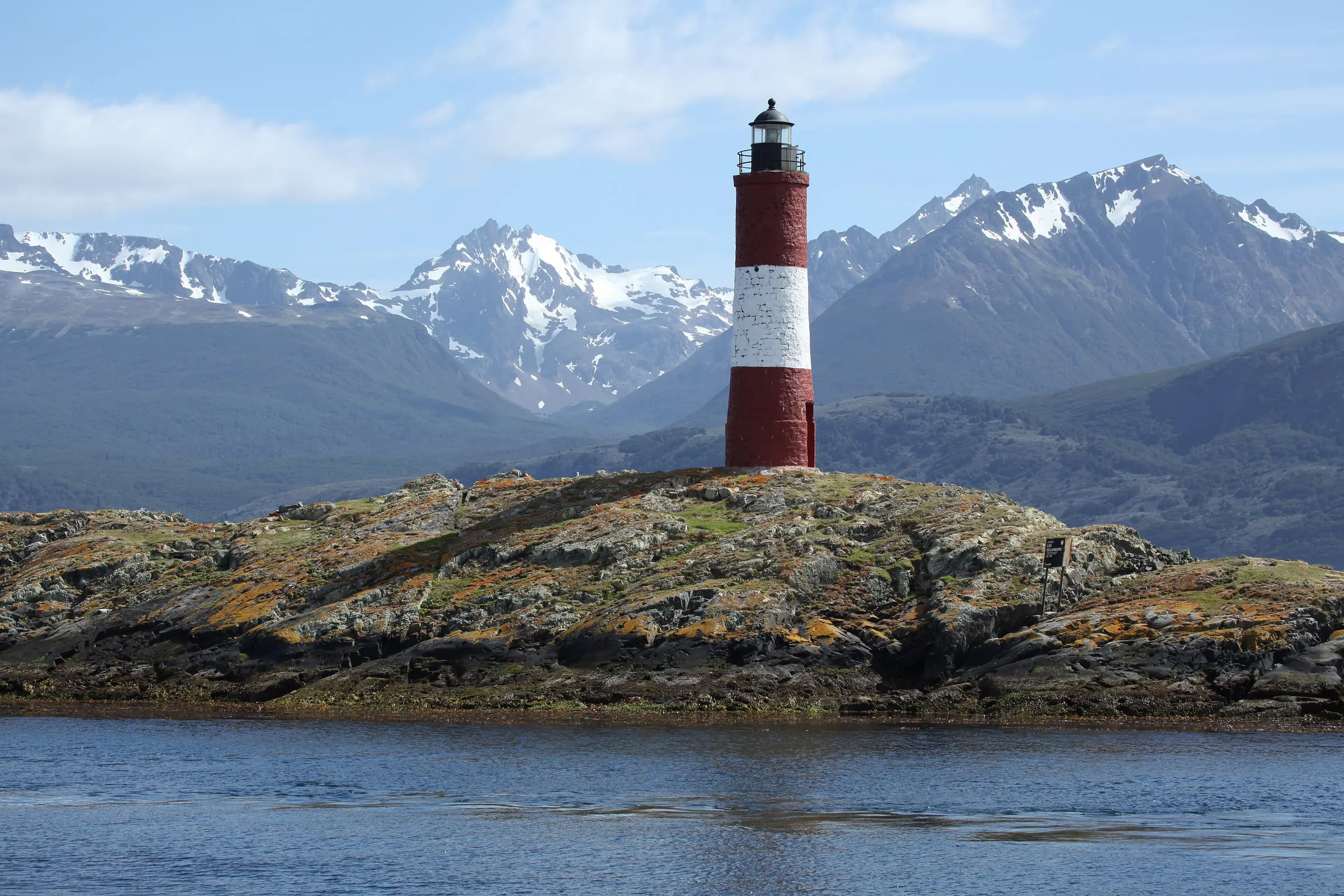
We meet in Ushuaia, the southernmost city in the world, stow our gear and get to know the yacht and each other. After the safety briefing the lines are cast off. The Beagle Channel runs east between the mountains of Tierra del Fuego, with sea lions on the rocks and Magellanic penguins in the water. By night the last land falls astern.
02
Days 2–5
58°54′S 63°18′W
The Drake Passage
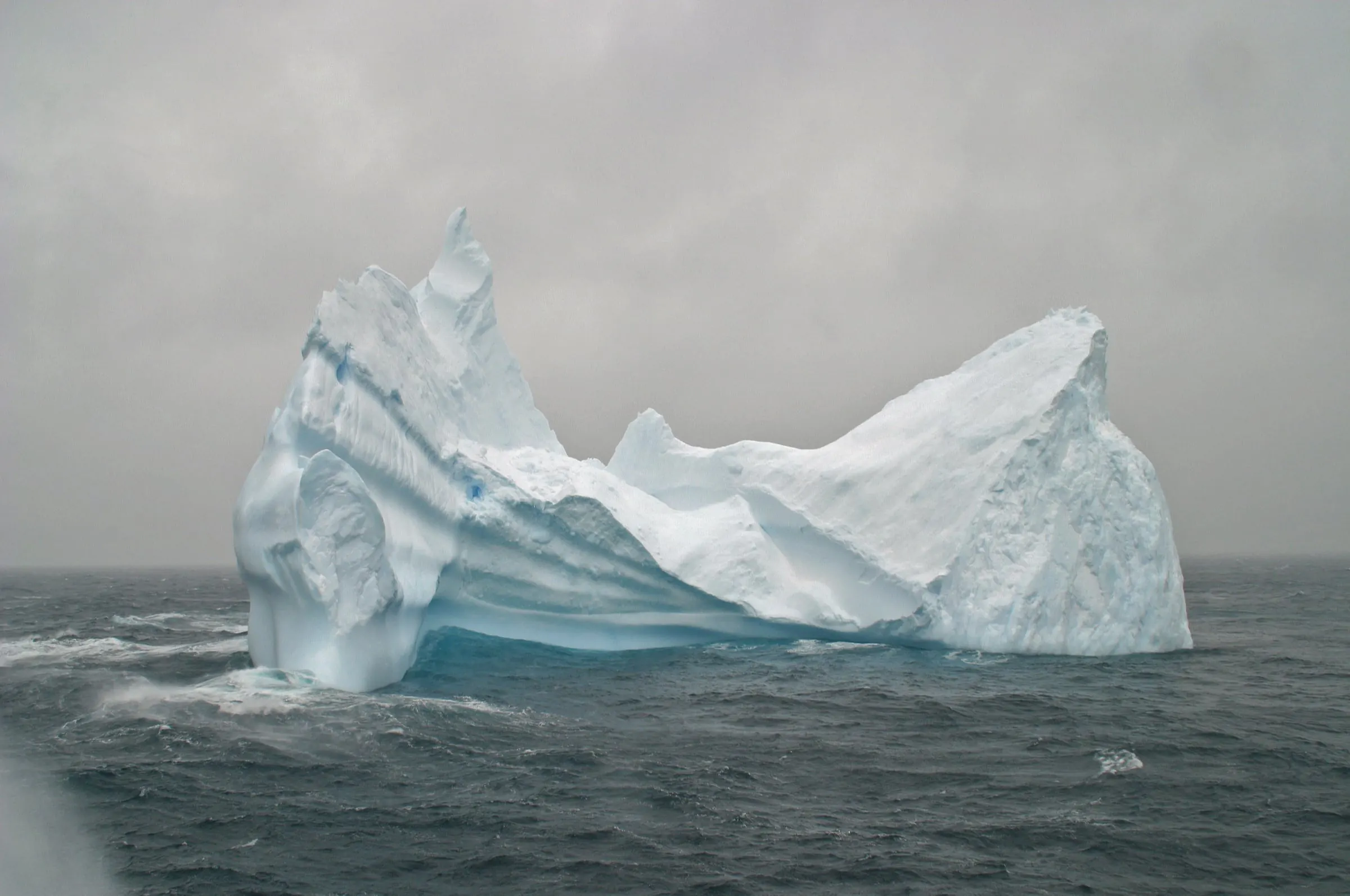
Six hundred miles of open ocean between Cape Horn and Antarctica — the passage every sailor has heard of. Sometimes it is a long, lazy swell, sometimes a proper Southern Ocean blow; we choose our weather window with care and take it at our own pace. Albatrosses glide alongside for hours, the air turns sharp as we cross the Antarctic Convergence, and one morning the first iceberg stands on the horizon.
Sheet 2 · Antarctic Peninsula
Schematic chart. Not for navigation.
03
Day 6
62°12′S 58°58′W
King George Island
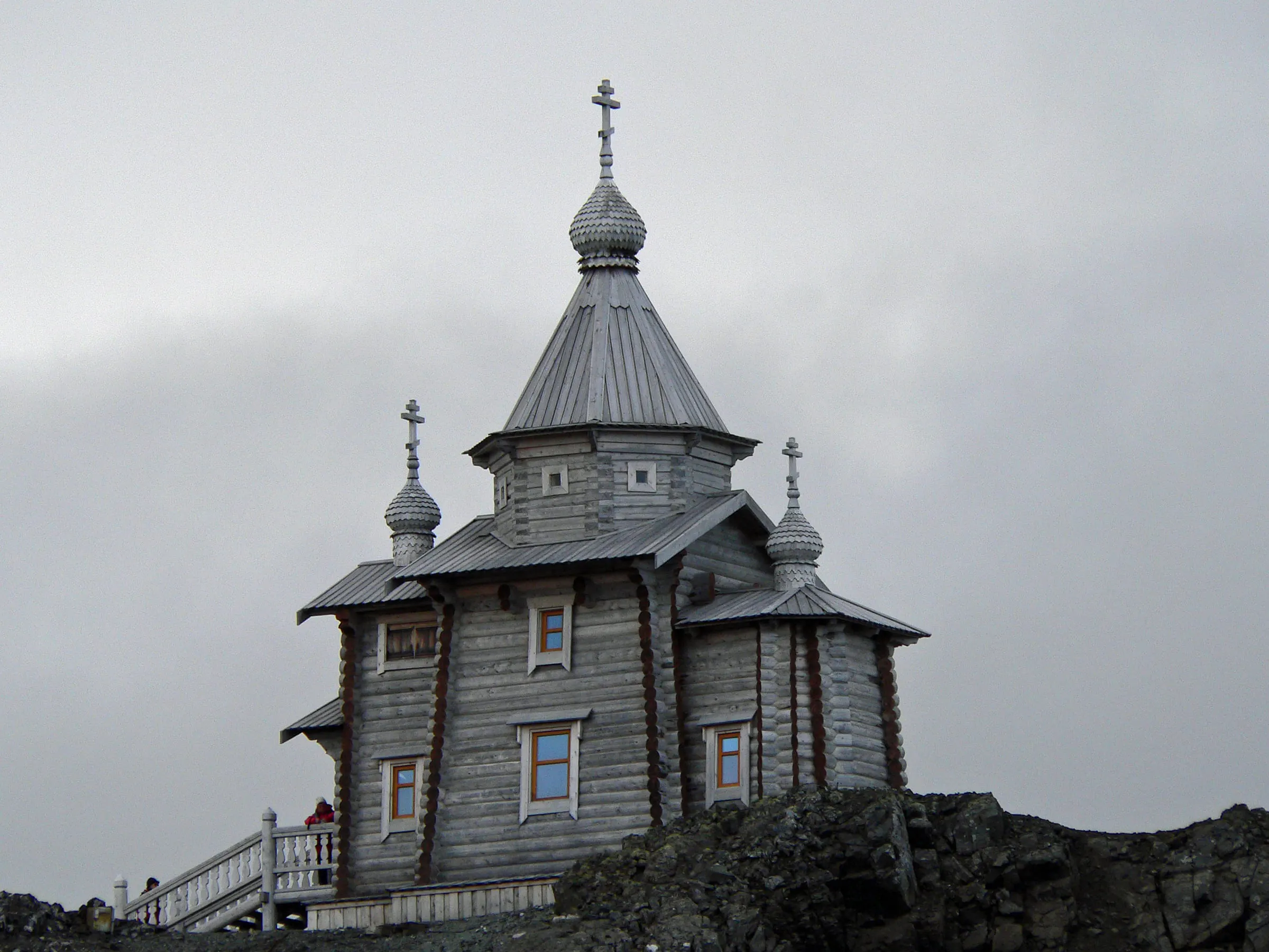
Landfall in the South Shetland Islands. On the Fildes Peninsula stands Russia's Bellingshausen Station, and above it the wooden Holy Trinity Church — built of Siberian timber and shipped here log by log. When the station can receive visitors we go ashore to meet the people who winter here, then walk across the peninsula to the Drake coast, where elephant seals lie in heaps on the beach.
04
Day 7
62°36′S 59°55′W
Yankee Harbour and Half Moon Island
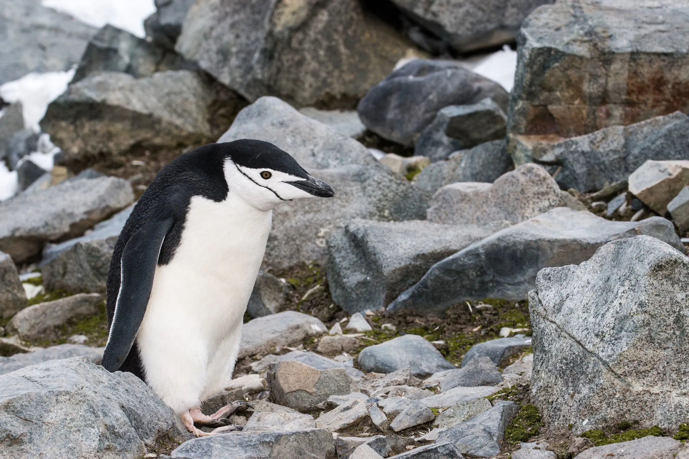
A short sail south-west along the Shetlands. Yankee Harbour on Greenwich Island is a natural anchorage behind a long shingle spit, used by sealers two hundred years ago and by thousands of gentoo penguins today. Half Moon Island is a crescent of rock beneath the glaciers of Livingston Island, home to a noisy colony of chinstrap penguins, with fur seals and Weddell seals on the beaches.
05
Day 8
62°59′S 60°33′W
Deception Island
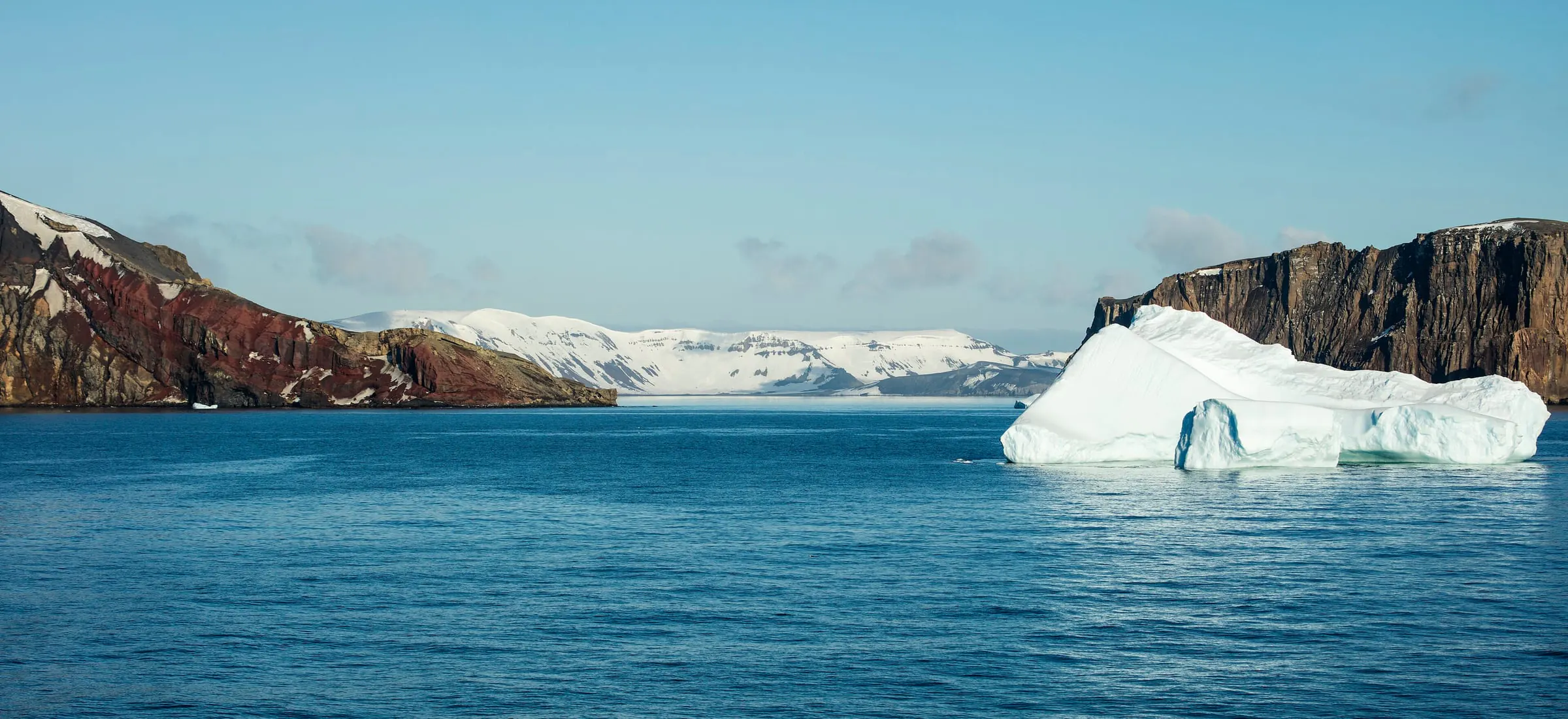
We sail through Neptune's Bellows, a narrow gap in the cliffs, into the flooded crater of an active volcano. Inside lies Whalers Bay: rusting boilers, oil tanks and timber huts of a whaling station abandoned in 1931, on a beach of black sand that steams at low tide. On the outer coast, at Baily Head, one of the largest chinstrap colonies in the region covers the slopes — we watch it from the water.
06
Day 9
63°54′S 60°47′W
Across the Bransfield Strait to Trinity Island
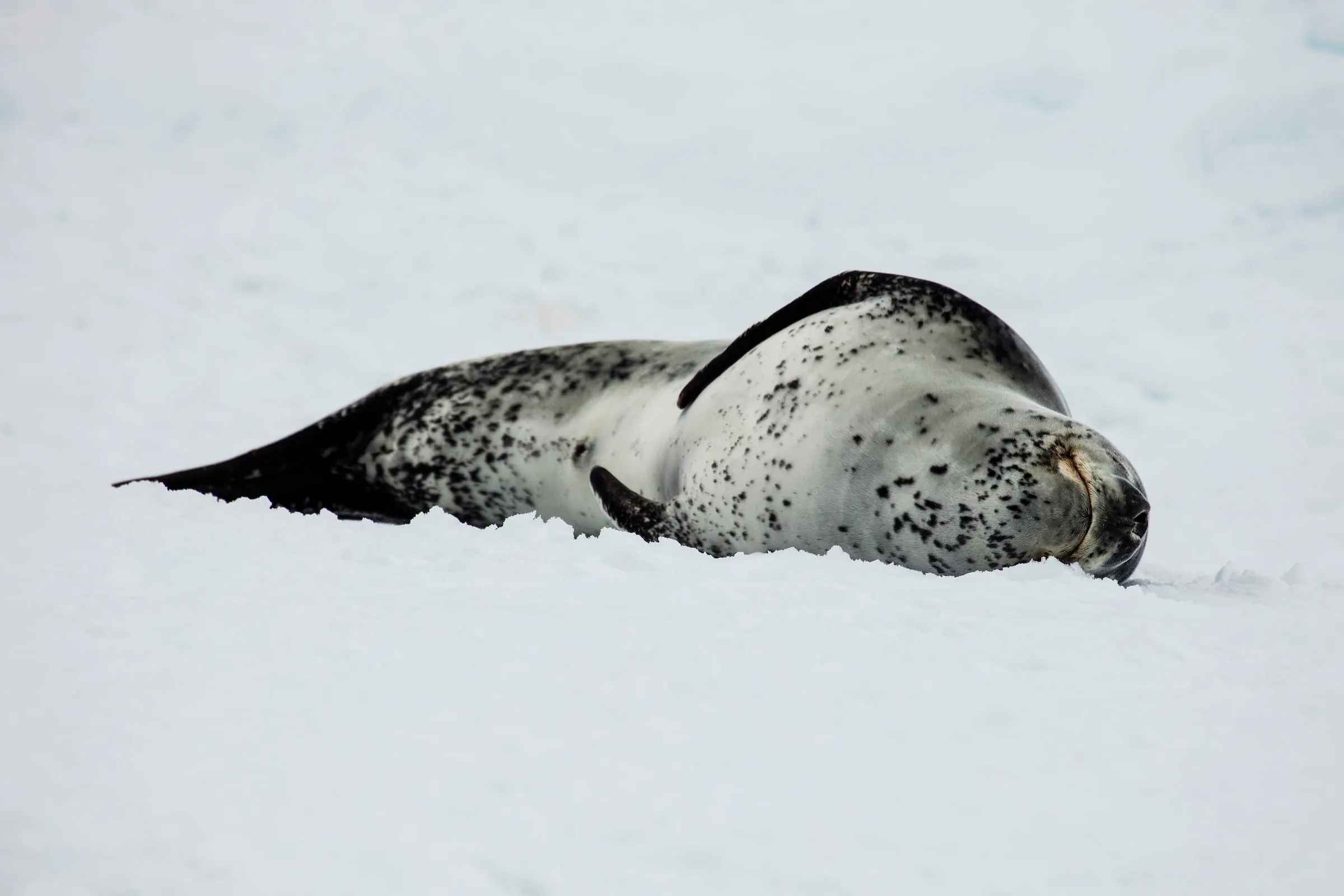
A day's sail across the Bransfield Strait brings the first sight of the Antarctic Peninsula itself. At Trinity Island we take the dinghy between grounded icebergs and beneath the face of the glacier. Weddell seals sleep on the floes, and with luck a leopard seal lifts its head to look at us. If conditions allow, the first landing on the continent comes a little further south.
07
Day 10
64°32′S 62°00′W
Enterprise Island
Tonight's berth is one of the strangest in the world: we tie up alongside the wreck of the Governøren, a whaling factory ship that caught fire and was run aground here in 1915. By day we head into Wilhelmina Bay to look for humpbacks. With luck they feed with a bubble net: several whales spiral upwards, blowing a ring of bubbles around the krill, then surface through it together, mouths wide open.
08
Day 11
64°41′S 62°38′W
Orne Harbour, Cuverville Island and Neko Harbour
At Orne Harbour a zigzag path climbs the snow slope to a chinstrap colony on the ridge, with a view over the whole Gerlache Strait. Cuverville Island holds one of the largest gentoo colonies on the Peninsula, its bay crowded with icebergs. At Neko Harbour we stand on the continent beneath a glacier that calves into the bay with a sound like thunder.
09
Day 12
64°54′S 62°52′W
Paradise Bay
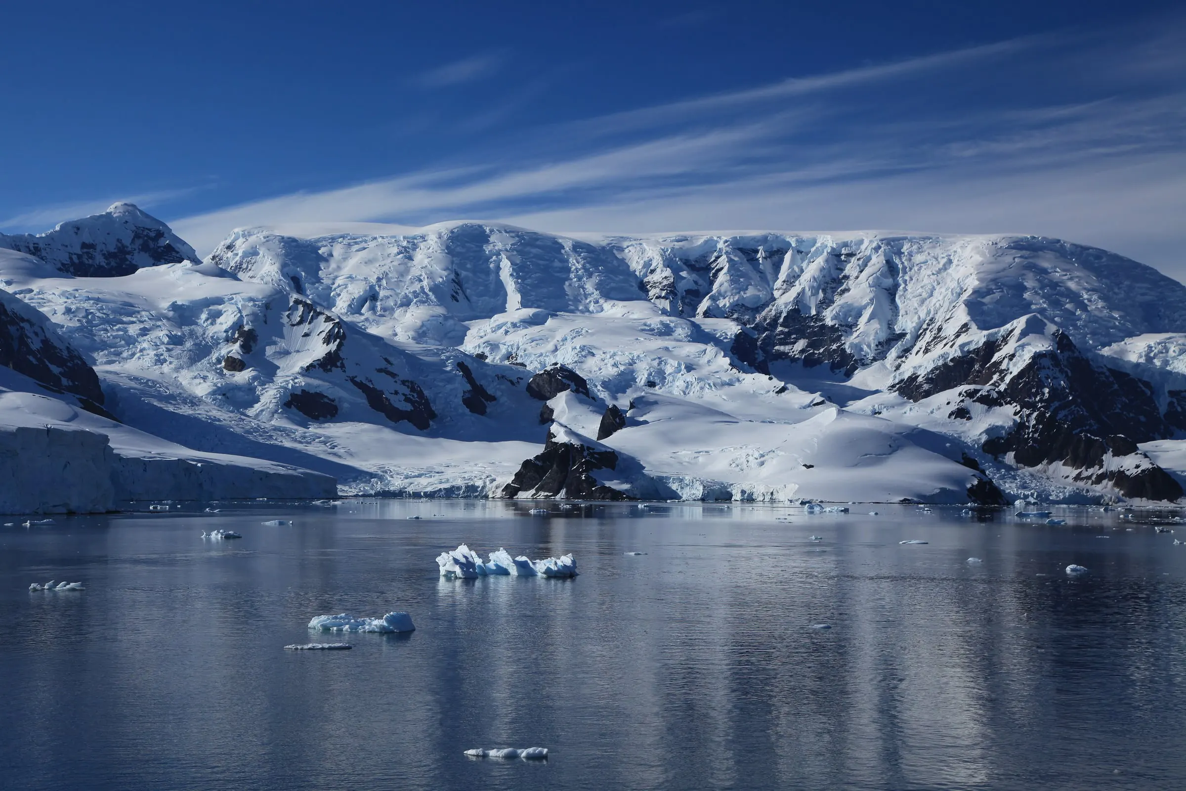
The whalers gave it this name and nobody has argued since. Icebergs drift across water as still as a mirror, gentoos nest around the Argentine and Chilean stations, and a glacier wall closes the head of the bay. We work the yacht into the quietest corner, take the dinghy along the ice front and step ashore on the mainland of Antarctica.
10
Day 13
65°14′S 64°10′W
Southernmost point
The Lemaire Channel and the Yalour Islands
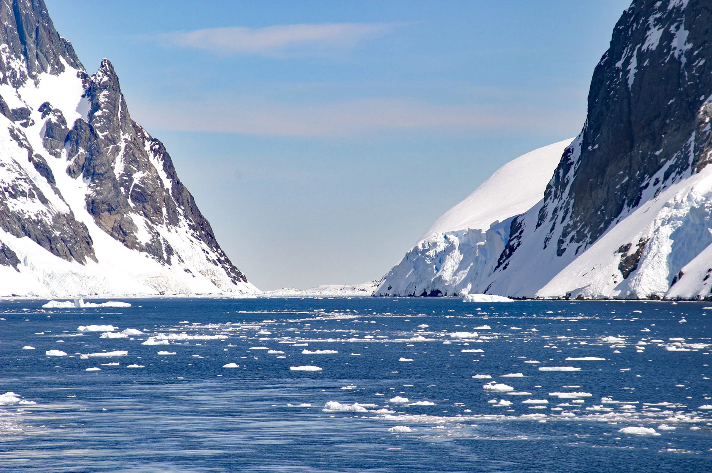
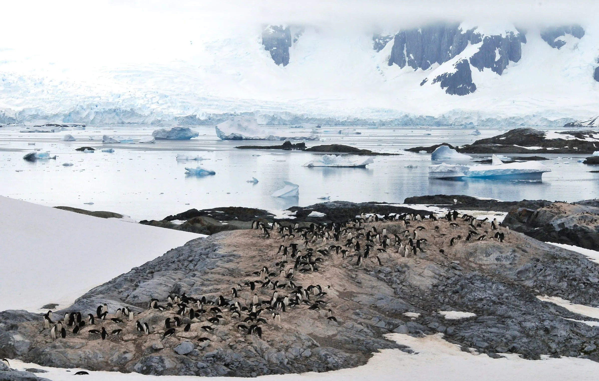
The Lemaire Channel is eleven kilometres of dark water between Booth Island and the mainland, with cliffs rising hundreds of metres straight from the sea on both sides. Orcas and humpbacks use it too. Beyond it lie the low, rocky Yalour Islands — the southernmost point of our voyage and one of the few places on this coast where Adélie penguins nest.
11
Day 14
64°50′S 63°30′W
Port Lockroy
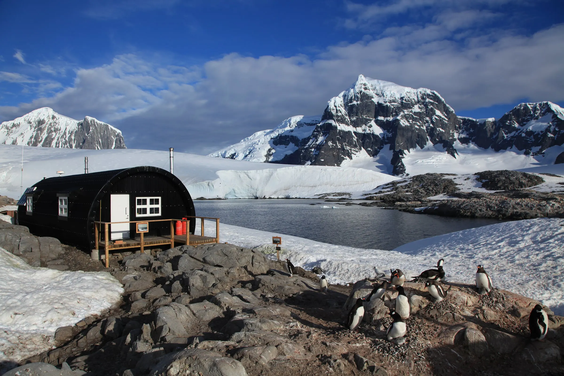
Turning north, we call at Port Lockroy on tiny Goudier Island. A British base was set up here in 1944; today it is a museum of how polar staff lived in the 1950s and the famous Penguin Post Office. A postcard sent from here takes weeks to arrive and is kept for a lifetime. The base is staffed in the summer season only, and gentoos nest right under its windows.
12
Day 15
64°20′S 62°59′W
The Melchior Islands
A tight cluster of ice-capped islands in Dallmann Bay, and our last anchorage in Antarctica. We thread the narrow channels between them by dinghy and take a last walk ashore where the ice allows; late in the season the rocks are shared with fur seals. Then everything is lashed down, the watches are set, and the bow turns north.
13
Days 16–21
57°36′S 66°24′W
The Drake again, and home to Ushuaia
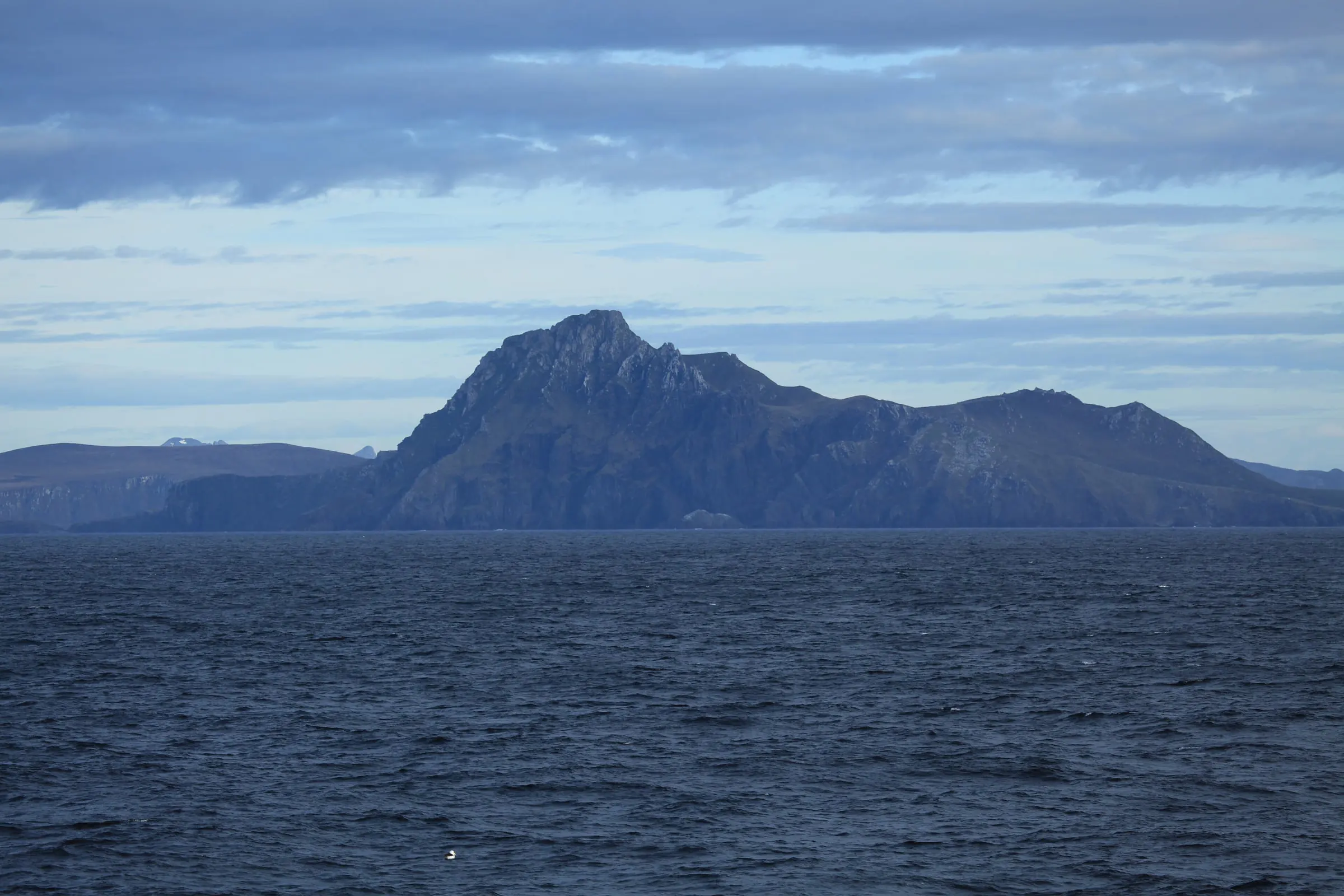
The same ocean, but a different crew: by now everyone knows their watch, the galley and the motion of the boat. Cape Horn passes somewhere to port, the Beagle Channel closes around us, and we tie up in Ushuaia. A hot shower, firm ground, Argentine steak and wine — and a story you will be telling for the rest of your life. Several days of the schedule are a reserve for the weather, so the yacht never has to sail to a deadline.
Who lives here
The neighbours
The Antarctic summer is short and loud. Over the voyage we expect to meet most of the residents — on their terms and at a respectful distance.
Penguins
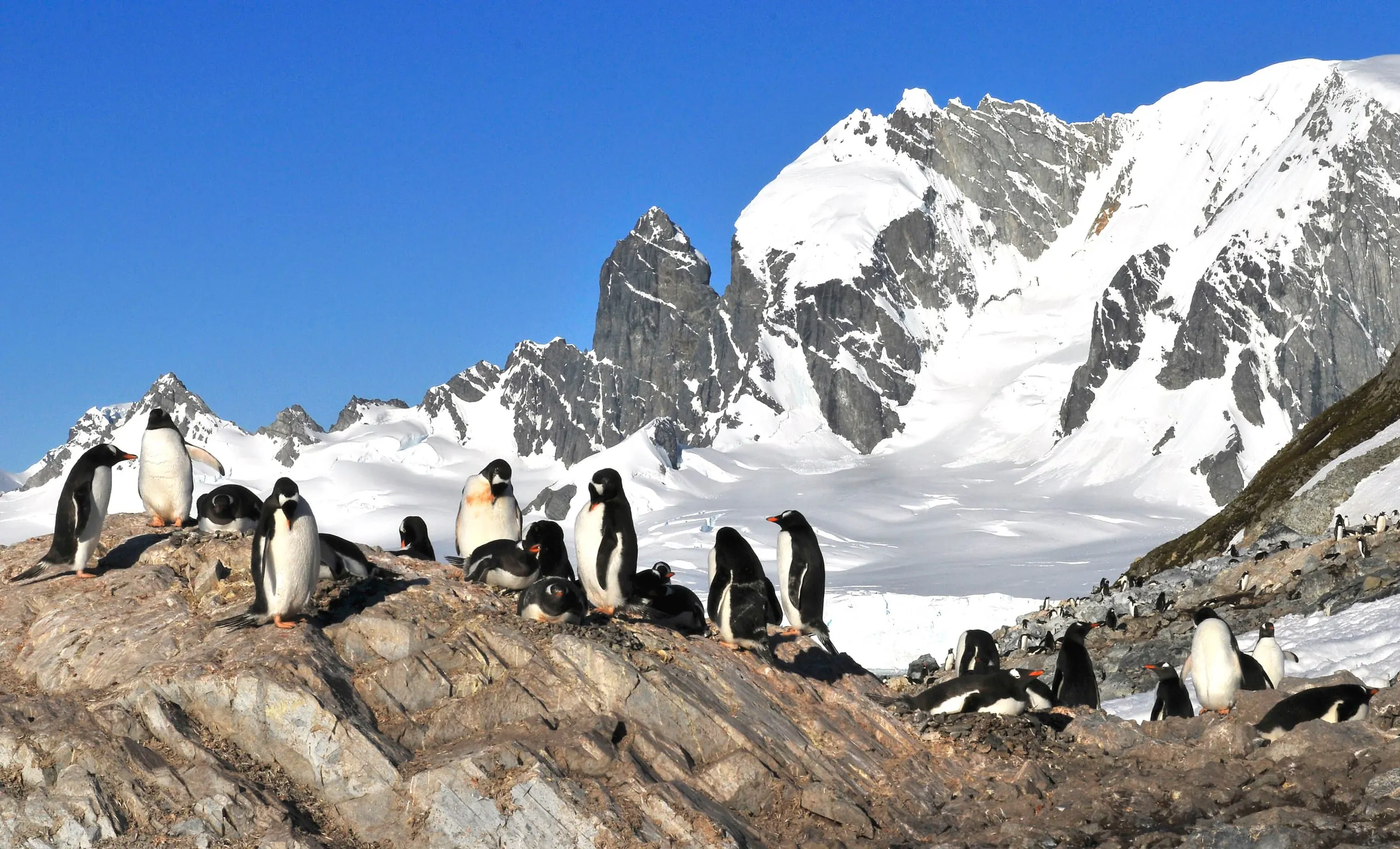
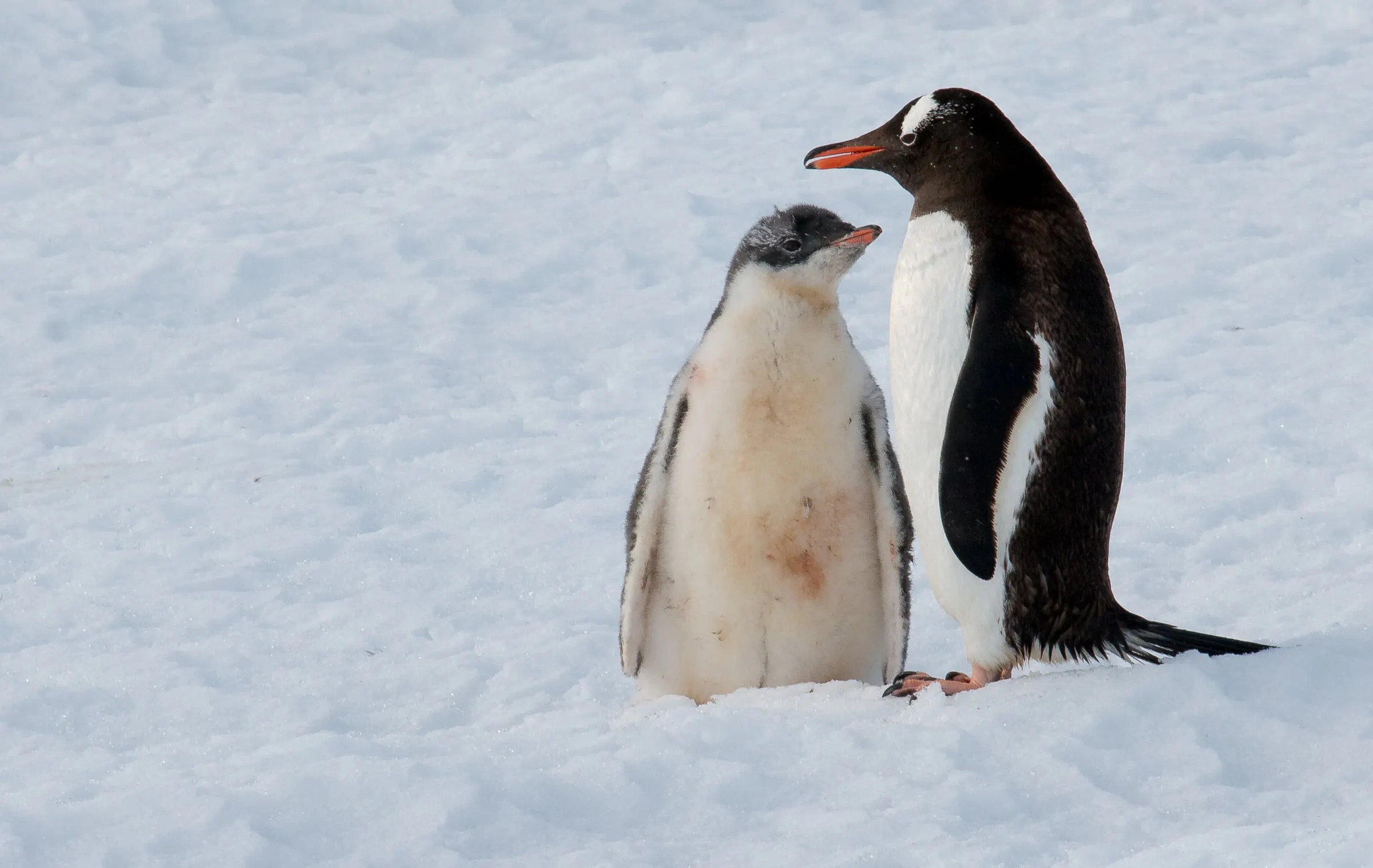
Gentoo, chinstrap and Adélie; Magellanic penguins in the Beagle Channel
Whales
Humpbacks and minke whales, sometimes orcas, often right beside the yacht
Seals
Weddell, crabeater and leopard seals on the ice; elephant and fur seals on the beaches
Seabirds
Wandering and black-browed albatrosses, giant petrels, Cape petrels, skuas
The yacht · Narua
Your home for the voyage
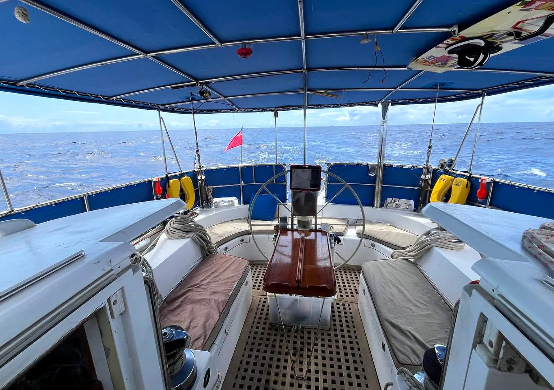
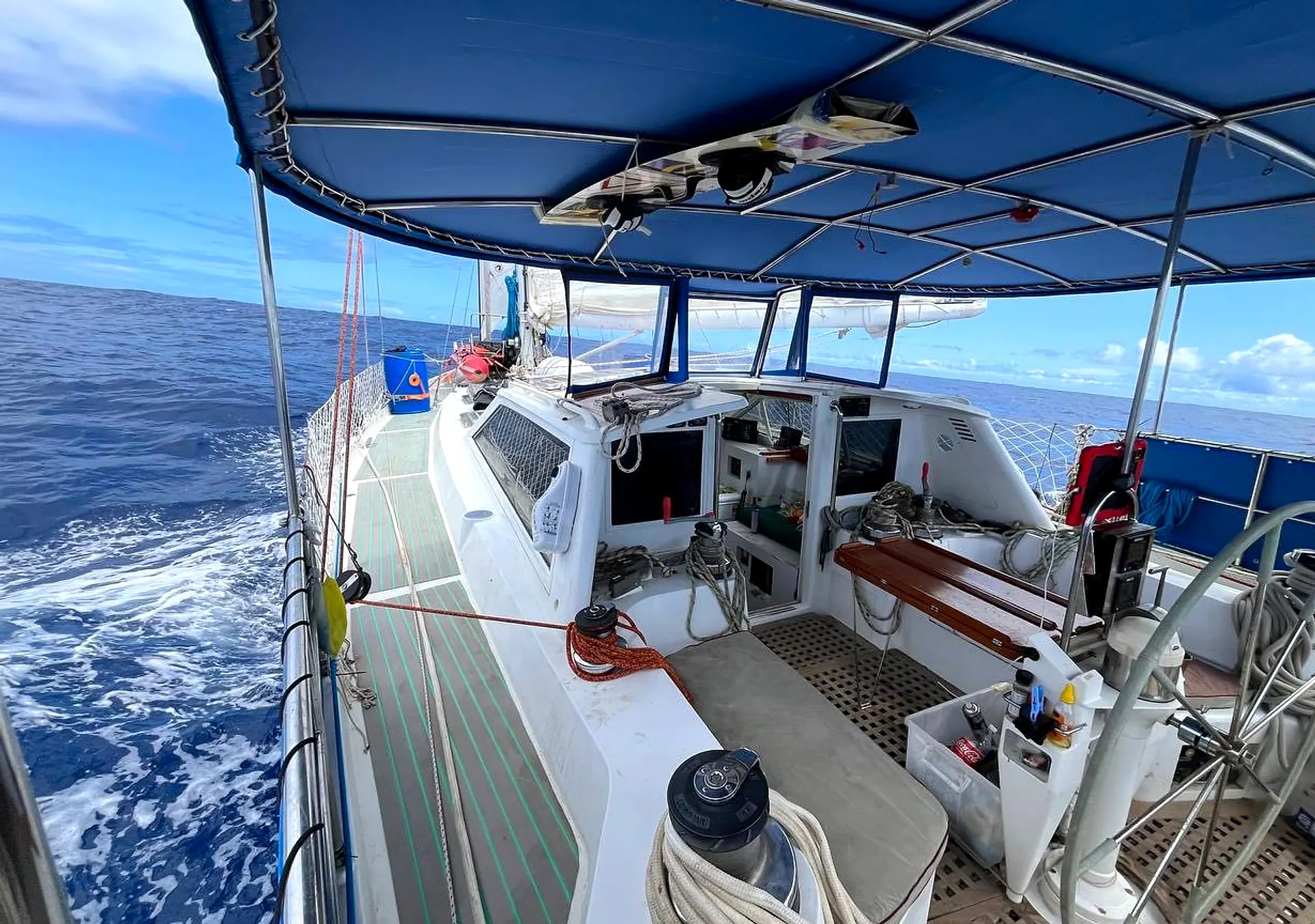
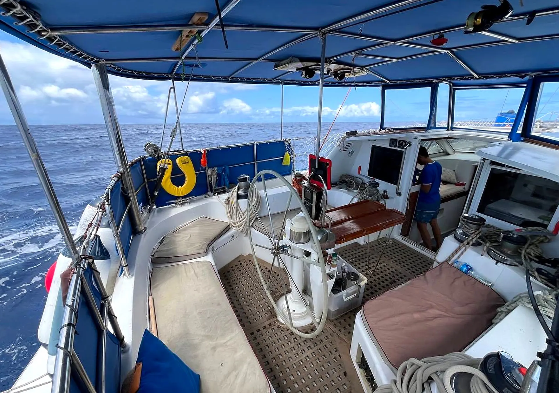
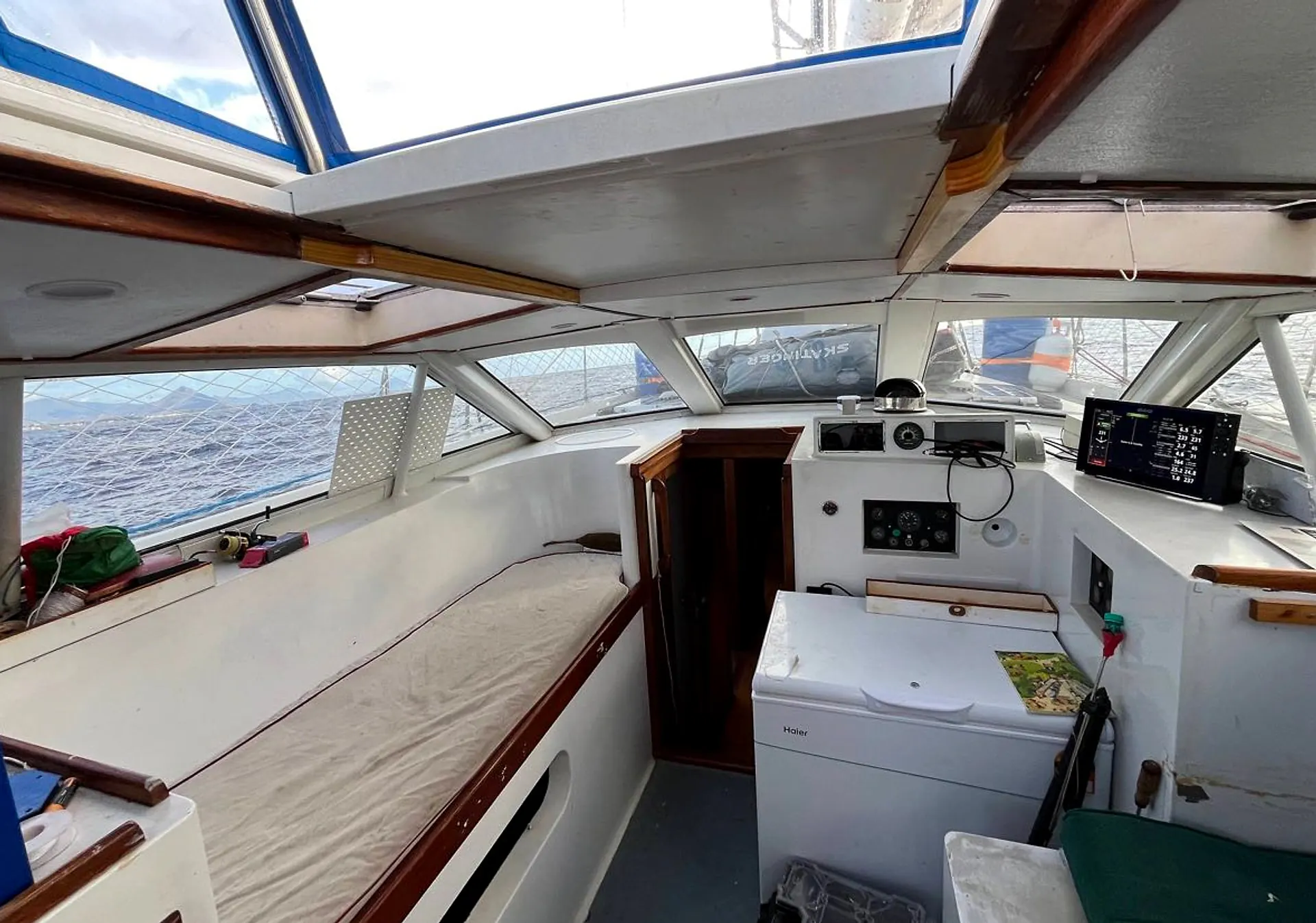
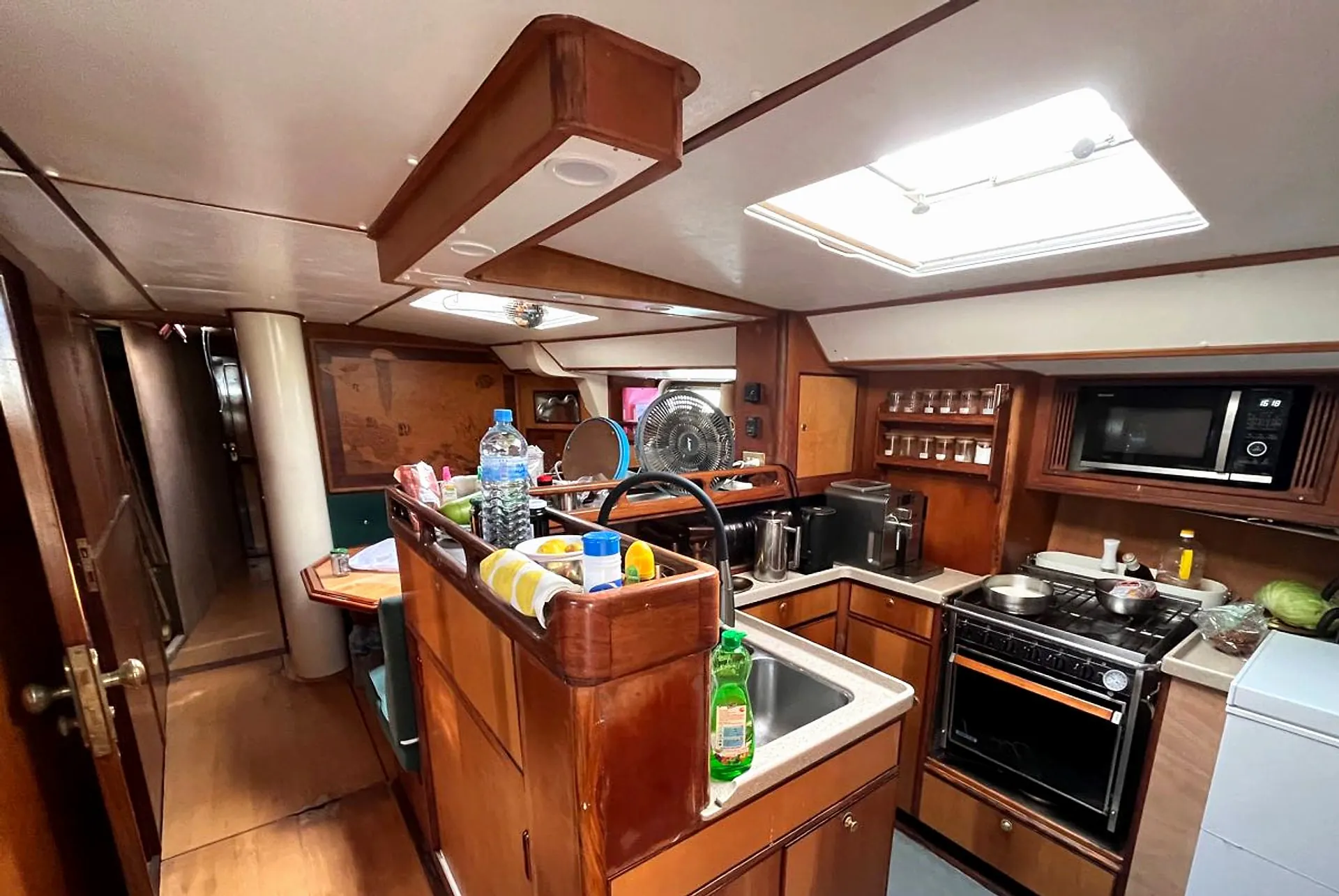
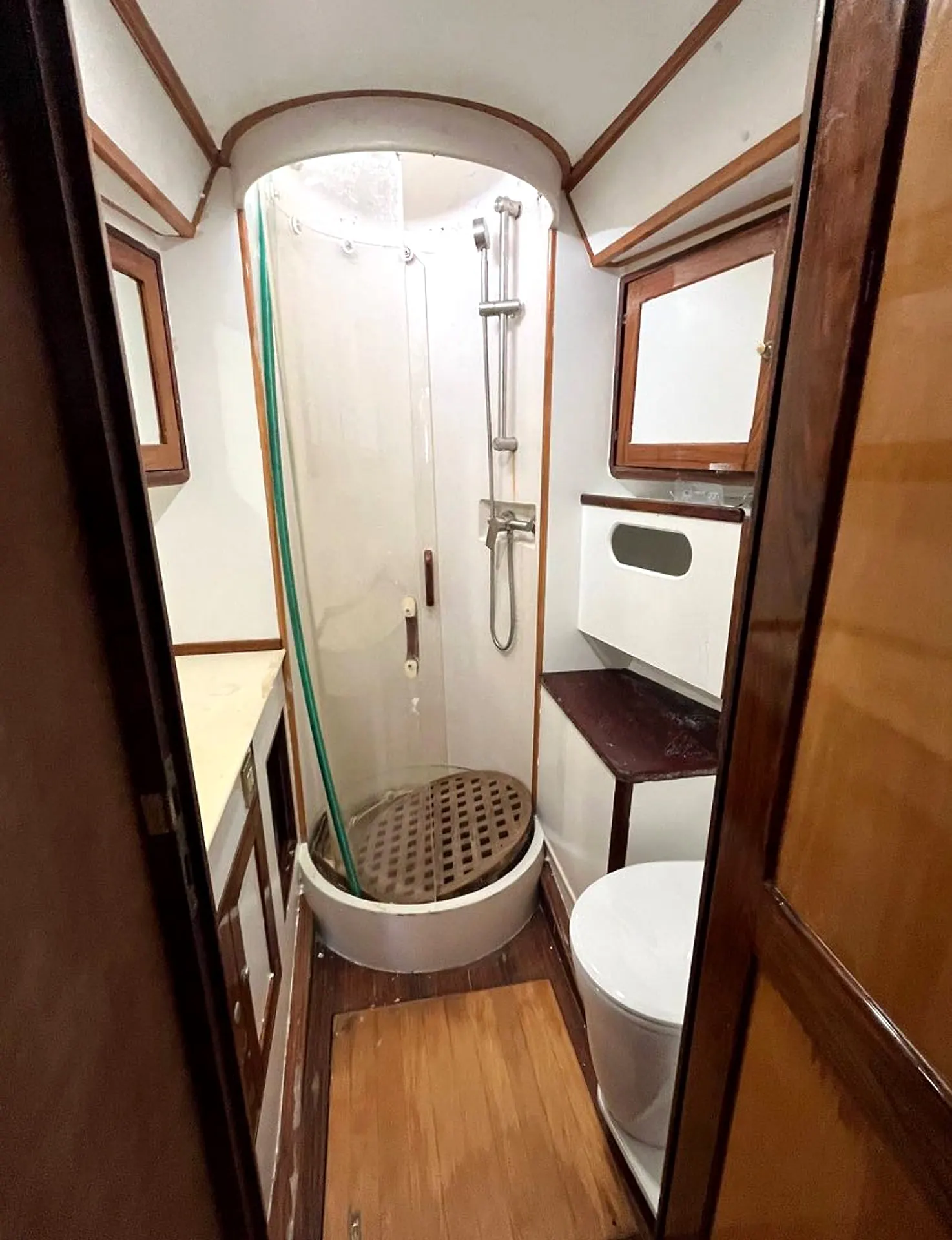
An ocean-going sailing yacht with an enclosed pilothouse: you can keep watch over the ice in the warm, with a mug in your hand. These are photographs of the yacht herself, as she is at sea.
The cockpit, looking aftSide deck and cockpit under wayAt the helmInside the pilothouseThe galleyBathroom with shower
Enclosed pilothouse
Windows all round and a place to sit out of the wind — the ice goes by at eye level.
Sheltered cockpit
A deep centre cockpit under a solid canopy, protected from spray and weather.
A real galley
A full stove and oven, a freezer and an espresso machine. Hot meals three times a day, and good coffee on the night watch.
Showers and laundry
Two bathrooms with showers and a washing machine on board — rare comfort this far south.
Season 2026/27
Dates and prices
Individually tailored price from $10,000 to $20,000 per person. Your final quotation reflects your programme and individual requirements.
No. The professional crew sails the yacht. If you want to steer, trim sails and stand a watch, we will teach you; if you would rather watch albatrosses from the pilothouse, that is fine too.
How rough is the Drake Passage?
Anything from a gentle swell to a full gale, and most crossings have a little of both. We wait in the Beagle Channel for a suitable weather window rather than sail to a timetable. Seasickness is common during the first day or two and usually passes; bring the medication your doctor recommends.
What is life on board like?
You share a cabin, eat with the crew at one table and live at the rhythm of the boat. There are hot meals three times a day, showers and a washing machine. Fresh water is limited at sea, so showers are short. There is no mobile coverage south of the Beagle Channel.
How fit do I need to be?
You should be able to climb in and out of a dinghy, walk on snow and uneven ground for an hour or two, and move around a moving boat. Tell us about any medical conditions before you book.
What should I bring?
A waterproof jacket and trousers, warm layers, rubber boots, gloves, a hat and sunglasses. In the Antarctic summer the temperature stays around freezing, but wind and spray make it feel colder. A full kit list comes with your booking confirmation.
How do I get there, and do I need a visa?
The expedition starts and ends in Ushuaia, Argentina, which has daily flights from Buenos Aires. Whether you need an Argentine visa depends on your passport; we provide a letter confirming your booking. Antarctica itself has no visa — the yacht sails under an expedition permit.
How do payment and cancellation work?
No payment is collected on this website. Your individual quotation, payment schedule and cancellation terms are agreed directly before you commit.
What if the weather changes the plan?
It will. Ice and wind decide which landings are possible, and the skipper's decision on safety is final. The route described here is the plan we aim for; the order of stops may change, and a missed landing is replaced with another wherever possible.
When is the best time to go?
The season runs from November to March. November and December bring untouched snow and courting penguins; January has the longest days and the first chicks; February and March are the best months for whales and long sunsets.
Request
Reserve a berth or ask a question
Leave your contact details and we will reply within one working day. No payment is taken at this step.